
Nicaragua
Nicaragua stretches from the Pacific coast across a chain of volcanoes, large freshwater lakes and central uplands to broad Caribbean lowlands. Most settlement is concentrated in the western half around the Pacific plains and lakes Nicaragua and Managua, while the eastern side is wetter, more forested and crossed by long river systems.
Nicaragua’s flag has horizontal blue, white and blue bands. The coat of arms in the center includes five volcanoes beneath a rainbow and liberty cap within a triangle.
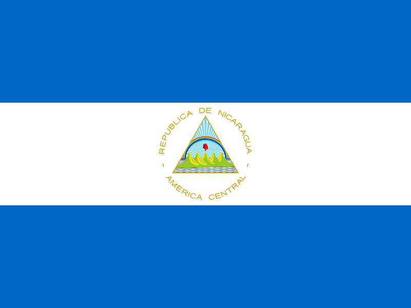
Nicaragua
Regions and cities in our catalog
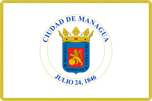
Regions
Browse this country’s regional flags and available downloads.
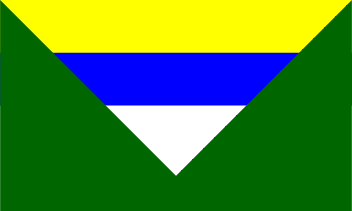
Boaco Department
Rolling cattle country and low forested hills surround central Nicaragua’s lakes.
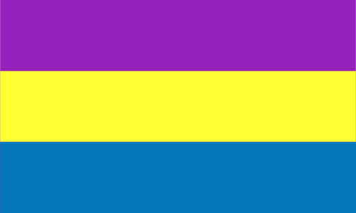
Carazo Department
Volcanic uplands descend through farmland toward Nicaragua’s Pacific coast.

Chinandega Department
A chain of active volcanoes rises above fertile Pacific plains in western Nicaragua.

Chontales Department
Cattle plains and rolling hills stretch east of Lake Nicaragua.
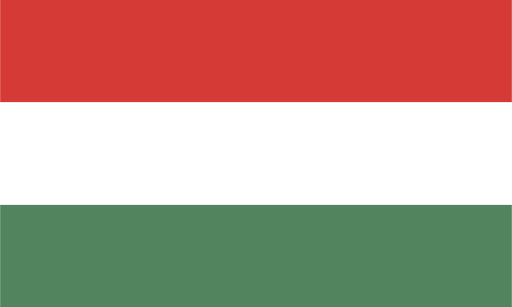
Estelí Department
Cool highland valleys and pine-covered ridges dominate northern Nicaragua.
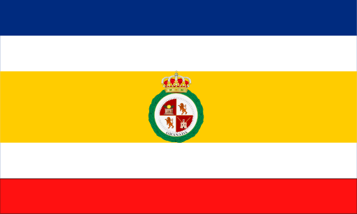
Granada Department
Volcanic slopes descend to Lake Nicaragua beside a compact colonial city.

Jinotega Department
High forested mountains and coffee valleys cover northern Nicaragua’s interior.
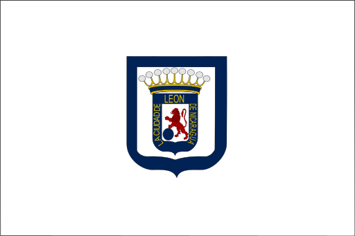
León Department
Volcanoes and fertile plains stretch from Lake Managua to the Pacific coast.
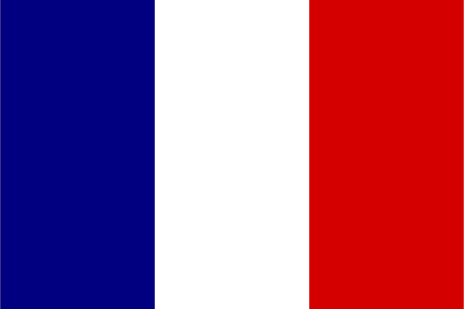
Madriz Department
Pine-covered highlands and narrow valleys fill Nicaragua’s northern interior.
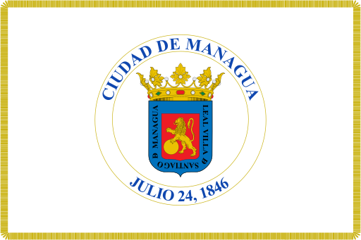
Managua Department
Volcanic hills and lake shores surround Nicaragua’s largest metropolitan area.
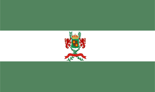
Masaya Department
Volcanic craters and fertile uplands lie between two great Nicaraguan lakes.
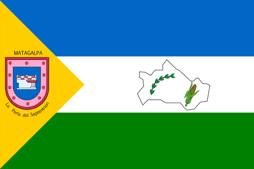
Matagalpa Department
Green mountain valleys and coffee-covered slopes dominate Nicaragua’s northern highlands.
Cities
Browse this country’s city flags and available downloads.