

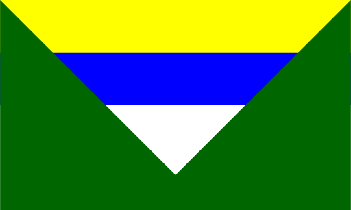
About the flag
No separate official departmental flag is reliably established through widely available documentation. Nicaragua’s national flag and local administrative emblems are used officially, so no unsupported banner is presented.
Jinotega Department — available formats: SVG, PNG, JPG, WebP, PDF. Choose an image size. No sign-up needed
No separate official departmental flag is reliably established through widely available documentation. Nicaragua’s national flag and local administrative emblems are used officially, so no unsupported banner is presented.
Region · Nicaragua
Jinotega Department occupies mountainous northern Nicaragua, with high ridges, cloud forests, river valleys, reservoirs, and extensive coffee-growing areas. Much of the department is rural and sparsely urbanised outside its main towns. Today coffee, agriculture, livestock, hydropower, forestry-related activity, trade, and public services support the economy. Jinotega city is the departmental capital and principal service center. Mountain roads connect production areas with Matagalpa and other northern regions, while large reservoirs and forest reserves play important roles in energy generation and conservation.
Rolling cattle country and low forested hills surround central Nicaragua’s lakes.

Volcanic uplands descend through farmland toward Nicaragua’s Pacific coast.

A chain of active volcanoes rises above fertile Pacific plains in western Nicaragua.

Cattle plains and rolling hills stretch east of Lake Nicaragua.