
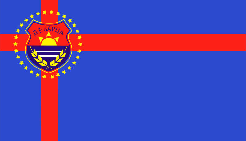
About the flag
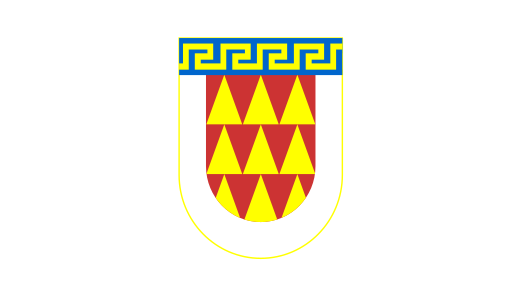
Debarca Municipality uses a local civic flag, but its exact standardized design and authoritative symbolism are not consistently documented in accessible sources. No uncertain colors or figures are specified.
Debarca Municipality — available formats: SVG, PNG, JPG, WebP, PDF. Choose an image size. No sign-up needed
Click a HEX or RGB value to copy it.
Debarca Municipality uses a local civic flag, but its exact standardized design and authoritative symbolism are not consistently documented in accessible sources. No uncertain colors or figures are specified.
Region · North Macedonia
Debarca Municipality lies in southwestern North Macedonia north of Lake Ohrid, covering a rural landscape of valleys, farmland, forests, mountains, and scattered villages. The territory is largely agricultural and lightly urbanised. Today farming, livestock, forestry-related activity, tourism, local services, and small businesses support the economy. Roads connect the municipality with Ohrid, Kičevo, and neighbouring western areas, while mountain scenery, wetlands, village landscapes, and archaeological sites offer opportunities for rural and nature tourism.
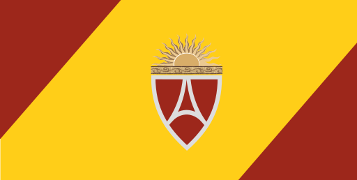
Dense urban districts spread across the flat Skopje basin south of the Vardar.
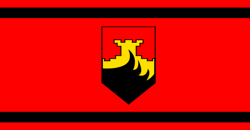
Flat Skopje lowlands and farmland lie beneath the northern Balkan foothills.
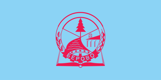
Forested mountains and the upper Bregalnica valley fill the far east.
The Pelagonia plain meets forested mountains around a major southern city.