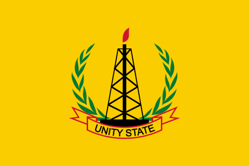
Eastern Equatoria — available formats: PNG, JPG, WebP, PDF. Choose an image size. No sign-up needed
About the flag
A distinct standardized state flag for Eastern Equatoria is not clearly documented in reliable official sources. South Sudan’s national flag is used by public institutions, while state authorities may employ administrative logos and seals. Community or traditional symbols should not automatically be treated as state flags. Without a formally published design, meanings associated with mountains, pastoralism or border landscapes remain uncertain.
About Eastern Equatoria
Region · South Sudan
Eastern Equatoria occupies South Sudan’s south-eastern corner, where rugged mountain ranges rise above broad savanna and pastoral plains. The Imatong Mountains and other highlands contrast sharply with drier lowland areas farther east. Torit is the state capital and principal administrative center. Today livestock, farming, trade and public services support local livelihoods, with communities distributed along roads, mountain valleys and water sources. Routes through the state connect Juba with border crossings toward Uganda, Kenya and Ethiopia, giving the region an important role in regional movement and commerce.