El Bayadh Province — available formats: PNG, JPG, WebP, PDF. Choose an image size. No sign-up needed
About the flag
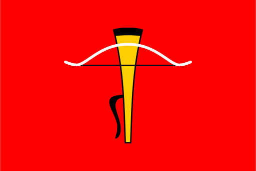
A separately adopted flag for El Bayadh Province is not reliably documented in accessible vexillological sources. Official provincial activity takes place under Algeria’s national flag, supplemented by governmental seals and administrative logos. Banners displaying local maps, names or institutional emblems may be used at particular events, but this does not prove the existence of a standardized territorial flag. In the absence of an official design document, symbolic explanations based on the province’s steppe, mountains or pastoral economy would be conjectural and should not be presented as established fact.
About El Bayadh Province
Region · Algeria
El Bayadh Province lies in western Algeria where the High Plateaus grade southward into the Saharan Atlas and the Ksour ranges. Broad steppe landscapes, rocky uplands and dry valleys characterize much of the territory, with settlements separated by large stretches of sparsely inhabited country. El Bayadh is the provincial capital and the principal administrative and commercial center. Today livestock raising, trade and public services remain central to the local economy, while road routes connect the province with Saïda, Naama, Béchar and Saharan districts farther south. Its geography forms a clear transition between northern highlands and desert.