Herrera Province — available formats: SVG, PNG, JPG, WebP, PDF. Choose an image size. No sign-up needed
About the flag
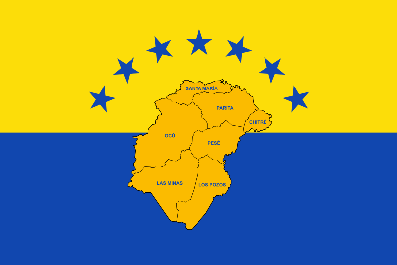
Herrera Province uses provincial governmental symbols, but reliable public sources do not consistently establish a single standardized official flag and authoritative interpretation of its elements. No uncertain colors or symbolic meanings are therefore added.
About Herrera Province
Region · Panama
Herrera Province lies in central-southern Panama on the eastern side of the Azuero Peninsula. Its landscape consists largely of dry tropical plains, rolling hills, agricultural land, river valleys, and a short Pacific coastline. Today agriculture, livestock raising, food production, trade, small manufacturing, tourism, and public services support the provincial economy. Chitré is the capital and a major commercial center for the peninsula, with shops, hospitals, schools, and transport services. Roads connect Herrera with neighbouring Azuero districts and the Pan-American Highway farther north.