Kostiantynivka — available formats: PNG, JPG, WebP, PDF. Choose an image size. No sign-up needed
About the flag
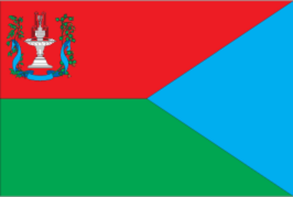
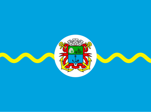
Kostiantynivka's municipal flag is based on its official coat of arms and incorporates imagery linked with glassmaking, industry and the local river system. The city developed around large factories, and its civic heraldry reflects that industrial identity. The banner represents the municipality rather than Donetsk Oblast. Minor symbolic details are omitted where documentation is limited.
About Kostiantynivka
City · Ukraine
Kostiantynivka lies in northern Donetsk Oblast on the Kryvyi Torets River, within the industrial corridor of the northern Donbas. The city expanded during the late nineteenth and twentieth centuries around glass, chemical and engineering plants. Manufacturing, construction materials, transport and services traditionally supported the economy. The city has been heavily affected by the war in eastern Ukraine, especially since 2022. Roads and railways connect Kostiantynivka with Kramatorsk, Druzhkivka and other settlements along the Donbas transport corridor.