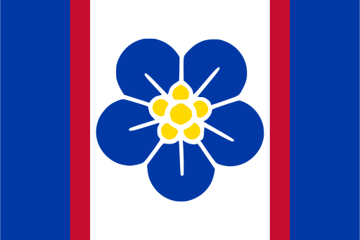
Lower Shebelle — available formats: SVG, PNG, JPG, WebP, PDF. Choose an image size. No sign-up needed
About the flag
No separate standardized flag for Lower Shebelle is clearly documented in authoritative sources. Somalia’s national flag and broader administrative symbols may be used by regional institutions, while individual towns have their own local identities. Such banners should not automatically be regarded as the flag of the region. Without an official design, agricultural, river or coastal symbolism remains unconfirmed.
About Lower Shebelle
Region · Somalia
Lower Shebelle lies south and west of Mogadishu along the lower Shabelle River and adjacent Indian Ocean coast. Fertile irrigated farmland, riverine vegetation and coastal dunes distinguish it from much of Somalia’s drier interior. Marka is the traditional regional administrative center, while numerous farming towns line the river corridor. Today agriculture, livestock, fishing, trade and transport support the economy, with bananas, cereals and other crops grown under irrigation. Roads link the region closely with Mogadishu and neighbouring areas of southern Somalia.