
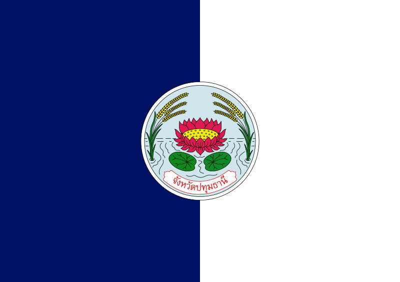
About the flag
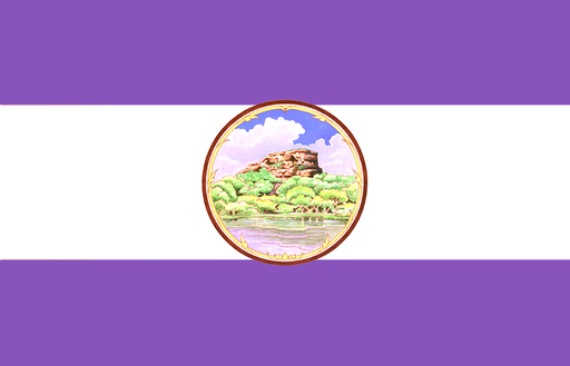
Pathum Thani uses an official provincial flag centered on the province's seal. The banner is documented within Thailand's provincial flag system, while detailed authoritative English explanations of all colors and devices are limited.
Pathum Thani — available formats: SVG, PNG, JPG, WebP, PDF. Choose an image size. No sign-up needed
Click a HEX or RGB value to copy it.
Pathum Thani uses an official provincial flag centered on the province's seal. The banner is documented within Thailand's provincial flag system, while detailed authoritative English explanations of all colors and devices are limited.
Region · Thailand
Pathum Thani lies directly north of Bangkok across the flat lower Chao Phraya plain, where canals, suburban districts and former agricultural land form a continuous metropolitan landscape. Pathum Thani town is the provincial center. Today universities, research institutions, industry, logistics, retail and housing dominate much of the economy. Rice fields remain in outer districts, but rapid development has transformed large areas. Expressways and rail connections make the province a key northern gateway into the Bangkok metropolitan region.
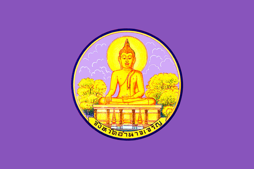
Low Mekong plains and seasonal wetlands spread across the far east of Isan.
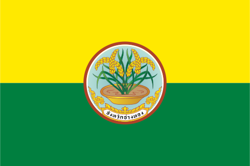
Flat rice fields and canals cover the fertile central Chao Phraya plain.
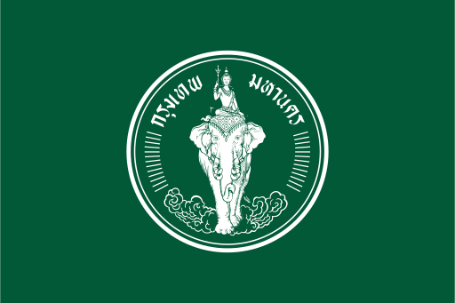
Bangkok is Thailand's capital and a special administrative area on the lower Chao Phraya River near the head of the Gulf of Thailand.
Mekong riverfront settlements, rubber plantations, and forested sandstone uplands in northeastern Thailand.