Samut Prakan — available formats: SVG, PNG, JPG, WebP, PDF. Choose an image size. No sign-up needed
About the flag
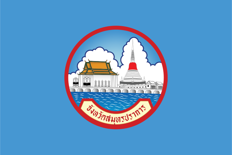
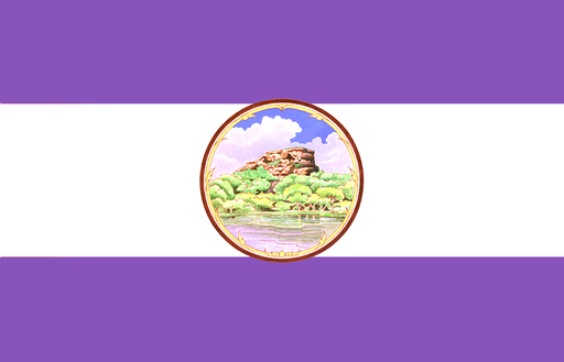
The provincial flag consists of a light blue field with the provincial seal centered on it. The seal is the only major graphic element, giving the banner a restrained and formal appearance. This format follows a common pattern among Thai provincial flags in which the official seal carries the local identity. The light blue background is well documented as part of the design, but reliable sources do not consistently provide an authoritative symbolic interpretation for the color, so no additional meaning is assigned. The flag therefore depends more on the official emblem than on any separately documented color code.
About Samut Prakan
Region · Thailand
Samut Prakan lies immediately southeast of Bangkok at the mouth of the Chao Phraya River, where dense urban districts meet the Gulf of Thailand. Low coastal land, canals, industrial zones, and riverfront settlements dominate the province. Today it forms a major part of the Bangkok metropolitan economy, with manufacturing, warehousing, ports, logistics, and large transport infrastructure including Suvarnabhumi Airport in its northern area. Samut Prakan city is the administrative center, while coastal defenses, temples, museums, and remaining mangrove areas provide contrasts to the highly developed urban landscape.