

About the flag
A separate official departmental flag is not reliably documented in accessible public references. Government representation relies on Honduras’s national symbols and local emblems, so no speculative design is supplied.
Santa Bárbara Department — available formats: SVG, PNG, JPG, WebP, PDF. Choose an image size. No sign-up needed
Click a HEX or RGB value to copy it.
A separate official departmental flag is not reliably documented in accessible public references. Government representation relies on Honduras’s national symbols and local emblems, so no speculative design is supplied.
Region · Honduras
Santa Bárbara Department lies in western Honduras across rugged mountain country, valleys, forests, and agricultural slopes near Lake Yojoa. The varied elevation supports coffee, livestock, grains, and other crops. Today agriculture, coffee production, handicrafts, mining-related activity, trade, and public services form important parts of the economy. Santa Bárbara city is the departmental capital and administrative center. Roads connect the department with San Pedro Sula, Copán, and central Honduras, while mountain landscapes and the nearby lake support local tourism and recreation.
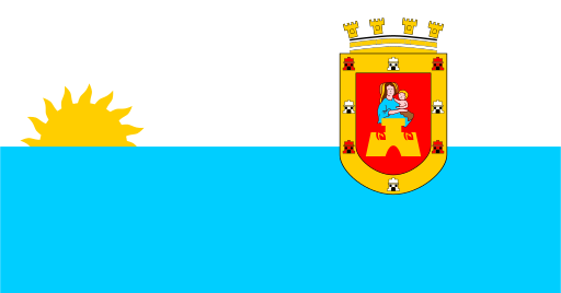
Rainforest and broad river valleys reach Honduras’s remote Caribbean coast.
A high interior valley is enclosed by mountain ranges in central Honduras.
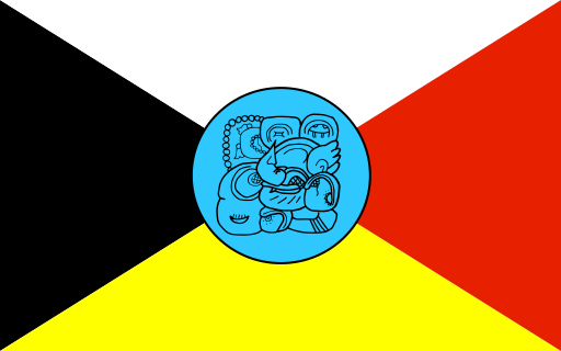
Rugged western highlands hold coffee valleys and forested mountain slopes.
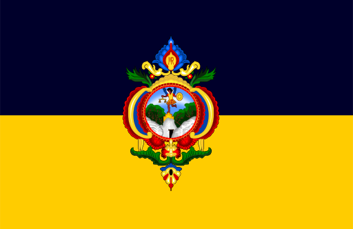
Mountain basins surround Honduras’s capital in the country’s central highlands.