Si Sa Ket — available formats: SVG, PNG, JPG, WebP, PDF. Choose an image size. No sign-up needed
About the flag
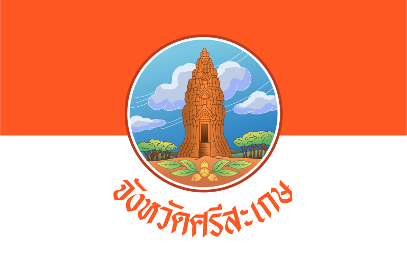
The provincial flag is divided into two horizontal bands, orange above and white below. The provincial seal is centered over the two fields and acts as the main identifying feature. Its simple two-color structure makes the detailed seal stand out clearly. The established appearance is documented, but reliable official explanations for the meaning of the orange and white colors are not consistently available in accessible sources, so the colors are described as visual elements only and are not linked to local geography or history without firm evidence. This keeps the description tied to visible, documented features rather than later symbolic readings.
About Si Sa Ket
Region · Thailand
Si Sa Ket lies in lower northeastern Thailand, extending from the plains of the Mun River basin toward the Dangrek Mountains near Cambodia. Rice-growing lowlands dominate much of the province, while forested and rocky terrain becomes more prominent in the south. Today agriculture remains central, especially rice, fruit, and other crops, while provincial towns provide education, markets, government services, and transport connections across lower Isan. Si Sa Ket city is the administrative center, and the province’s southern uplands include protected natural areas and cultural sites associated with the border region.