Surat Thani — available formats: SVG, PNG, JPG, WebP, PDF. Choose an image size. No sign-up needed
About the flag
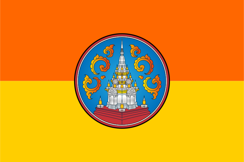
The provincial flag is divided horizontally into orange above and yellow below, with the provincial seal centered over the two fields. The seal is the principal local identifier and contains the province’s official emblematic imagery. The two broad bands create a simple background that keeps the central device prominent. The colors and layout are consistently documented in flag references, but an authoritative explanation of the intended symbolism of the orange and yellow fields is not reliably available, so no further meaning is assigned to them. In practical use, the seal remains the clearest marker of provincial identity within the design.
About Surat Thani
Region · Thailand
Surat Thani occupies a large part of southern Thailand, stretching from the Gulf coast and offshore islands into forested mountains and the Tapi River basin. Its geography includes low agricultural plains, limestone formations, reservoirs, and islands such as Ko Samui and Ko Pha-ngan. Today the province combines tourism, rubber and oil-palm production, fisheries, transport, and regional services, with Surat Thani city acting as a mainland commercial hub. Ferries, roads, rail connections, and airports link the province’s islands and interior districts with the rest of southern Thailand.