
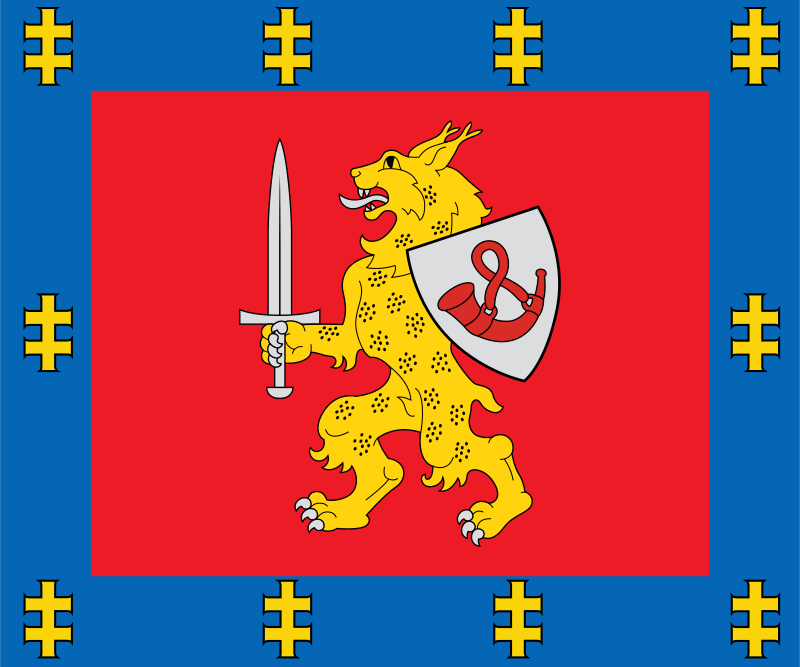
About the flag
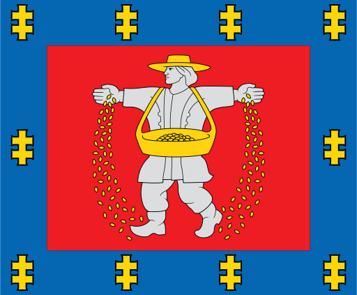
Tauragė County uses an official heraldic banner derived from its county coat of arms. The armorial device supplies the main regional identity, while uncertain interpretations of colors and smaller figures are not stated.
Tauragė County — available formats: SVG, PNG, JPG, WebP, PDF. Choose an image size. No sign-up needed
Tauragė County uses an official heraldic banner derived from its county coat of arms. The armorial device supplies the main regional identity, while uncertain interpretations of colors and smaller figures are not stated.
Region · Lithuania
Tauragė County lies in western Lithuania along the lower Nemunas region and surrounding inland countryside. Forests, agricultural plains, rivers, wetlands, and small towns dominate the landscape. Today agriculture, forestry-related industries, food production, manufacturing, logistics, public services, and local trade support the economy. Tauragė is the principal administrative and commercial center. Roads connect the county with Klaipėda, Kaunas, and southern routes, while river environments, forests, historic estates, and protected areas support recreation and nature tourism.
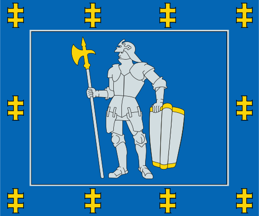
Forests, lakes, and sandy plains cover Lithuania’s quiet southern interior.
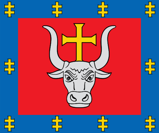
The Nemunas and Neris meet amid fertile plains in central Lithuania.
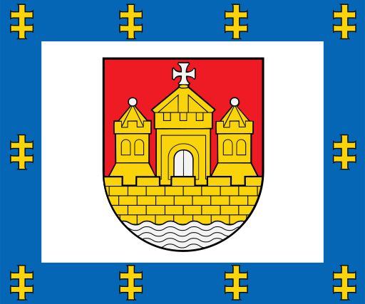
Baltic beaches, dunes, lagoons, and low coastal plains define western Lithuania.
Flat fertile farmland and low river valleys spread across southwestern Lithuania.