
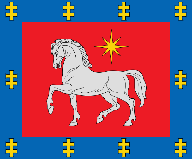
About the flag
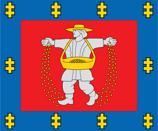
Utena County uses an official heraldic flag derived from its county coat of arms. The armorial composition provides the main regional identity, while no uncertain interpretation is assigned to individual colors or figures.
Utena County — available formats: SVG, PNG, JPG, WebP, PDF. Choose an image size. No sign-up needed
Click a HEX or RGB value to copy it.
Utena County uses an official heraldic flag derived from its county coat of arms. The armorial composition provides the main regional identity, while no uncertain interpretation is assigned to individual colors or figures.
Region · Lithuania
Utena County occupies northeastern Lithuania, where numerous lakes, forests, rolling uplands, rivers, and rural settlements dominate the landscape. Utena is the largest town and main commercial center. Today food production, manufacturing, agriculture, forestry-related industries, tourism, public services, and small businesses support the economy. Roads connect the county with Vilnius and other northeastern regions, while lake districts, national parks, forests, and traditional villages make outdoor recreation especially important. Boating, fishing, camping, and rural tourism attract many seasonal visitors.
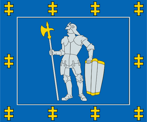
Forests, lakes, and sandy plains cover Lithuania’s quiet southern interior.
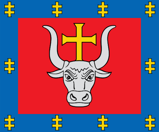
The Nemunas and Neris meet amid fertile plains in central Lithuania.
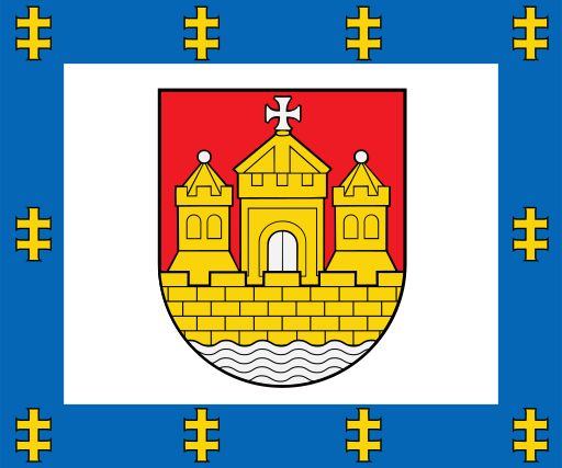
Baltic beaches, dunes, lagoons, and low coastal plains define western Lithuania.
Flat fertile farmland and low river valleys spread across southwestern Lithuania.