Uthai Thani — available formats: SVG, PNG, JPG, WebP, PDF. Choose an image size. No sign-up needed
About the flag
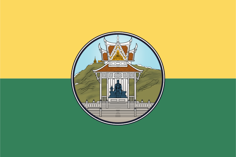
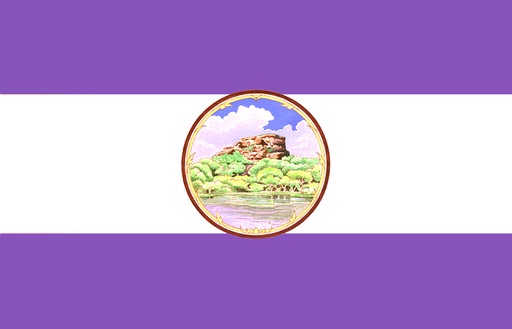
The provincial flag is divided horizontally into yellow above and green below, with the provincial seal placed at the center. The two broad fields create a simple background for the more detailed official emblem. The design is well established in published provincial flag references and is easily distinguished by its paired colors. Reliable sources, however, do not consistently provide an authoritative explanation for what the yellow and green sections are intended to represent, so the colors are not assigned speculative meanings tied to nature or agriculture. This keeps the description tied to visible, documented features rather than later symbolic readings.
About Uthai Thani
Region · Thailand
Uthai Thani lies on the western side of Thailand’s lower northern region, where the Sakae Krang basin meets extensive forested mountains. The eastern part is more settled and agricultural, while the west includes large protected areas connected to the Western Forest Complex. Today the province relies on farming, livestock, local trade, public services, and nature-based tourism, with Uthai Thani town as its administrative center. The Huai Kha Khaeng Wildlife Sanctuary gives the province major conservation importance, while river communities and traditional markets remain central to the inhabited lowlands.