Zamora Chinchipe — available formats: SVG, PNG, JPG, WebP, PDF. Choose an image size. No sign-up needed
About the flag
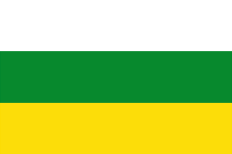
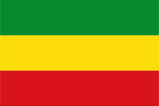
The provincial flag is divided horizontally into white, green, and yellow bands. Official provincial material explains white as representing peaceful coexistence, green as referring to the abundant vegetation of the Amazonian environment, and yellow as associated with mineral resources, especially gold. The arrangement is simple and contains no necessary central emblem in its basic form. Older or incorrectly reported designs differ, making the three horizontal bands the most reliable current specification.
About Zamora Chinchipe
Region · Ecuador
Zamora Chinchipe lies in southeastern Ecuador where the Andes descend into the upper Amazon basin near Peru. Steep forested mountains, river valleys, waterfalls, and humid tropical foothills dominate its terrain. Today mining, agriculture, livestock, public services, forestry-related activity, and nature tourism are important, with Zamora serving as the principal administrative center. Protected areas conserve extensive mountain forests, while road corridors connect settled valleys with Loja and other parts of southern Ecuador despite the province's rugged topography.