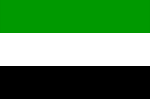
Barima-Waini — available formats: SVG, PNG, JPG, WebP, PDF. Choose an image size. No sign-up needed
About the flag
Barima-Waini has a regional flag used to represent Guyana's first administrative region. Public sources confirm the existence of the flag, but accessible authoritative text does not provide a sufficiently clear specification of all colors, shapes, and their meanings for a precise written reconstruction. Rather than relying on image-based guesses, the design is treated here as an established regional symbol without assigning uncertain details or symbolism.
About Barima-Waini
Region · Guyana
Barima-Waini occupies northwestern Guyana, extending from the Atlantic coastal plain into heavily forested interior country. Rivers, mangroves, wetlands, hills, and remote Indigenous communities characterize much of the region. Today mining, forestry, agriculture, fishing, public services, and cross-border commerce contribute to the local economy, with Mabaruma serving as the regional administrative center. River transport remains important because many settlements are far from the main road network, while the Atlantic coast and interior waterways support both commercial activity and traditional livelihoods.