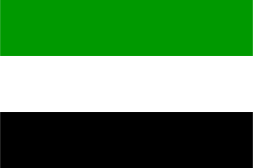
Demerara-Mahaica — available formats: SVG, PNG, JPG, WebP, PDF. Choose an image size. No sign-up needed
About the flag
Demerara-Mahaica has an official regional flag used alongside the symbols of Guyana. Published government material includes the banner among the country's ten regional flags, although accessible text does not consistently describe its complete arrangement or explain every element. Because an image alone can leave details open to error, the design is not reconstructed here beyond identifying it as the established flag of the administrative region.
About Demerara-Mahaica
Region · Guyana
Demerara-Mahaica occupies part of Guyana's Atlantic coastal plain around the mouth of the Demerara River. The landscape is low and heavily modified by canals, drainage works, settlements, farmland, and sea defenses. Today it is the country's main center for government, finance, trade, education, port services, manufacturing, and transport because Georgetown lies within the region. Urban development dominates the coast, while agricultural communities extend inland along rivers and roads, making this the most intensively developed part of Guyana.