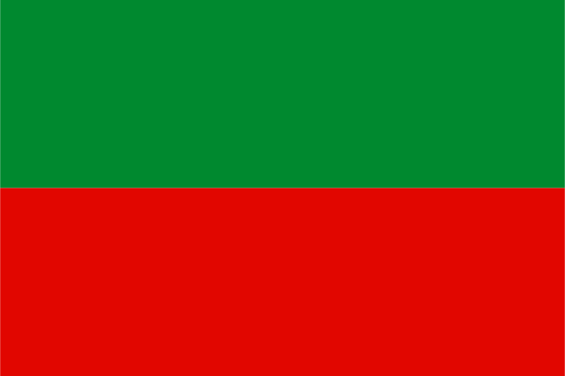
East Berbice-Corentyne — available formats: SVG, PNG, JPG, WebP, PDF. Choose an image size. No sign-up needed
About the flag
East Berbice-Corentyne has a regional flag recognized within Guyana's administrative system. Government and vexillological sources document its use, but an authoritative written specification of every field, device, and symbolic meaning is not readily available in accessible text. The flag is therefore acknowledged without a detailed reconstruction that could confuse artistic renderings with formally defined elements.
About East Berbice-Corentyne
Region · Guyana
East Berbice-Corentyne stretches from Guyana's Atlantic coast far into the forested southeastern interior. Coastal rice fields and sugar-growing areas contrast with major rivers, rainforest, savanna margins, and remote settlements farther south. Today agriculture, mining, forestry, fishing, trade, and public services support the regional economy, with New Amsterdam as its principal administrative center. The Corentyne and Berbice rivers remain important transport and economic corridors, while coastal towns are more densely connected by roads than communities deep in the interior.