Upper Nile — available formats: PNG, JPG, WebP, PDF. Choose an image size. No sign-up needed
About the flag
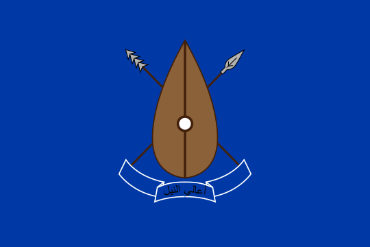
No standardized official state flag for Upper Nile is reliably documented in authoritative sources. Public institutions use South Sudan’s national flag and state administrative insignia. Local political, community or institutional banners should not automatically be regarded as flags of the state. Without a formal specification, meanings associated with the Nile, oil or floodplain landscapes remain unconfirmed.
About Upper Nile
Region · South Sudan
Upper Nile lies in north-eastern South Sudan around the White Nile and major tributaries flowing from Ethiopia and Sudan. Broad floodplains, wetlands and open savanna dominate the low-lying landscape. Malakal is the state capital and an important river port and commercial center. Today oil production, fishing, livestock, farming and trade contribute to the economy, while the Nile remains the main geographic and transport corridor. River routes and roads connect the state with Jonglei, Sudan and neighbouring eastern regions, although seasonal flooding strongly affects travel.