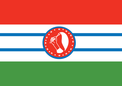
Bomet County — available formats: PNG, JPG, WebP, PDF. Choose an image size. No sign-up needed
About the flag
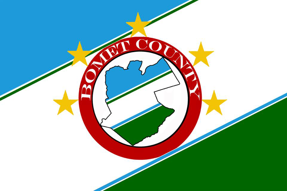
Bomet County has its own county flag used by the devolved county government, but detailed authoritative descriptions of the design and its symbolism are not consistently available in public flag references. Reproductions show a county-specific multicolour banner incorporating official civic imagery rather than a simple national-style pattern. Because versions and explanations can vary between secondary sources, uncertain details and color meanings are not assigned here. The flag should be treated as a symbol of the county government rather than of a separate political entity.
About Bomet County
Region · Kenya
Bomet County lies in Kenya’s south-western highlands west of the Great Rift Valley. Rolling hills, fertile valleys and extensive tea-growing areas create a green agricultural landscape with cooler conditions than the nearby lowlands. Bomet is the county headquarters and principal administrative center. Today tea, dairy farming, maize and other crops dominate the rural economy, supported by trade and public services. Roads connect the county with Kericho, Narok and the Lake Victoria basin, while settlement is widely dispersed across farming districts and expanding market towns.