
About the flag
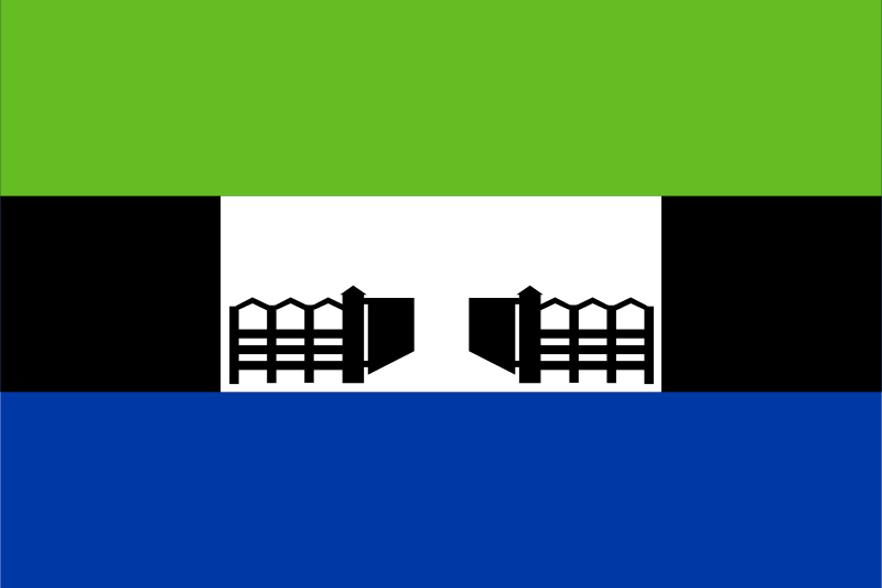
The displayed flag has a green upper band and a blue lower band. Between them is a black band interrupted by a white rectangle at the center. Inside the white area, two black gate-like forms face one another across a central gap.
Busia County — available formats: SVG, PNG, JPG, WebP, PDF. Choose an image size. No sign-up needed
Click a HEX or RGB value to copy it.
The displayed flag has a green upper band and a blue lower band. Between them is a black band interrupted by a white rectangle at the center. Inside the white area, two black gate-like forms face one another across a central gap.
Region · Kenya
Busia County combines Kenya's border with Uganda and part of Lake Victoria's northern shore. Low plains, wetlands, and agricultural land extend through the lower Nzoia basin toward the lake. Farming and fishing are important uses of this landscape. At Busia town, the county headquarters, the road border crossing gives trade and transport a direct local focus. Market centers connect the surrounding farming communities with routes into both Kenya and Uganda.
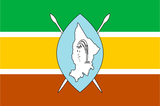
A Rift Valley county of escarpments, lakes and dry savanna around Lake Baringo.
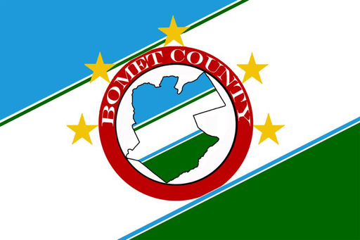
A green highland county of tea fields and rolling hills west of the Rift Valley.
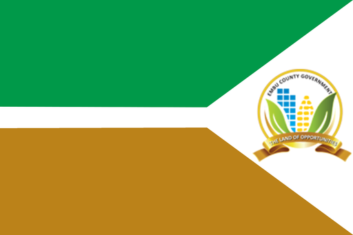
A central highland county on Mount Kenya’s eastern slopes and Tana headwaters.
A central highland county of fertile ridges immediately north of Nairobi.