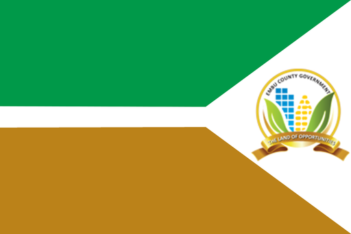
Kiambu County — available formats: SVG, PNG, JPG, WebP, PDF. Choose an image size. No sign-up needed
About the flag
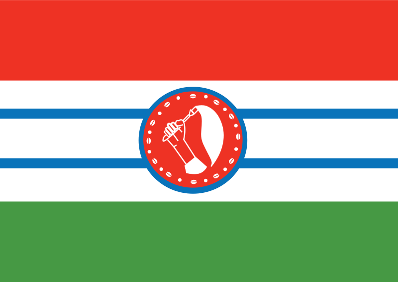
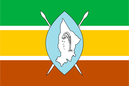
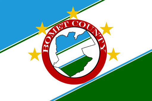
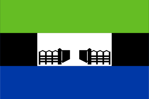
Kiambu County uses a county flag as part of its official devolved-government identity. The banner is documented in public county-flag collections, but the exact authoritative explanation of all colors and figures is not consistently reproduced. Because the county combines agricultural, suburban and industrial areas, visual features should not be interpreted from geography alone. The flag represents the county administration and should be distinguished from municipal branding used by individual towns within the large Nairobi metropolitan fringe.
About Kiambu County
Region · Kenya
Kiambu County lies immediately north and west of Nairobi across fertile central highlands that descend toward the Great Rift Valley. Tea and coffee districts coexist with rapidly expanding suburbs, industrial zones and commuter towns. Kiambu is the county headquarters, while Thika, Ruiru and other large towns form major economic centers. Today manufacturing, agriculture, real estate, education, commerce and commuting dominate the economy. The county’s dense road network connects Nairobi with Mount Kenya, the Rift Valley and northern central Kenya, making it one of the country’s most urbanized counties.