Bong County — available formats: SVG, PNG, JPG, WebP, PDF. Choose an image size. No sign-up needed
About the flag
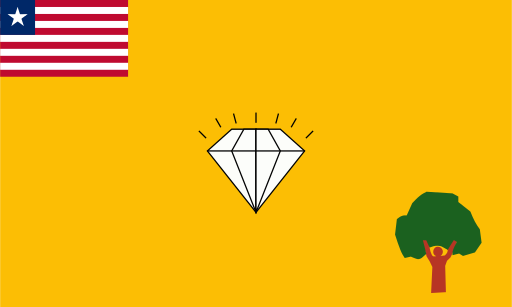
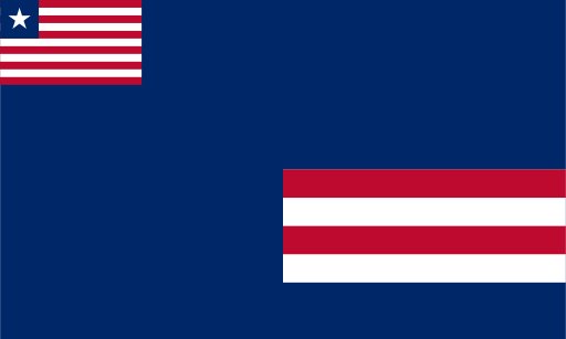
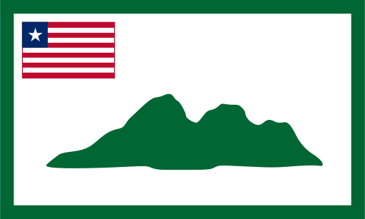
The county flag uses Liberia's national flag in the canton together with a separate local design on the main field. Bong County's flag is particularly associated with colored sections and mining-related implements, reflecting an important part of the county's economic identity. Historical reproductions are not always identical in proportions or small details, so only the principal elements are stated here.
About Bong County
Region · Liberia
Bong County occupies a large part of central Liberia, with rolling uplands, forest, rivers and agricultural valleys extending around Gbarnga. The city is a major inland transport and commercial center at the junction of routes leading toward several parts of the country. Today farming, trade, education, public services and mining-related activity contribute to the county's economy. Rice, cassava and other crops are widely grown, while iron ore has played an important role in its industrial development. Bong's central position makes it a significant link between the coastal counties and Liberia's northern interior.