Gbarpolu County — available formats: SVG, PNG, JPG, WebP, PDF. Choose an image size. No sign-up needed
About the flag
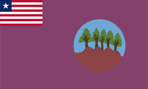
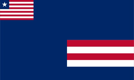
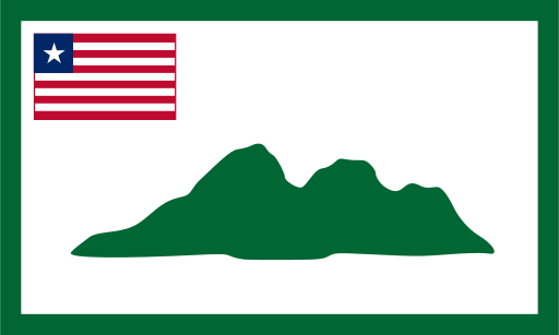
Gbarpolu County has a county flag with the Liberian national flag placed in the canton and a locally designed main field. Common reproductions show a prominent natural-resource motif and a tree, but versions differ in background color and graphic detail. Because those variations are documented, precise shades and secondary features are not treated as fixed here.
About Gbarpolu County
Region · Liberia
Gbarpolu County lies in northwestern Liberia, largely within a forested interior of hills, rivers and sparsely settled rural communities. Bopolu is its administrative center and the main focus for government and local trade. Today agriculture, artisanal mining, forestry-related activity and small-scale commerce support much of the economy. Gold and diamond mining occur in several areas, while farming provides food and income for many households. Road access remains important to development because settlements are widely dispersed through heavily vegetated terrain, and connections lead south toward the more populated coastal region.