
Liberia
Liberia occupies a humid section of the Upper Guinea coast, with lagoons, mangroves and low coastal plains rising toward forested hills and plateaus inland. Major rivers descend southwestward from the interior, while the northern and eastern districts are less densely settled than the coastal corridor around the principal cities and ports.
Liberia’s flag has eleven alternating red and white horizontal stripes. A single white five-pointed star stands in the blue canton. Liberia also has county flags: a historical account records Grand Bassa’s design with four red and white stripes on blue.
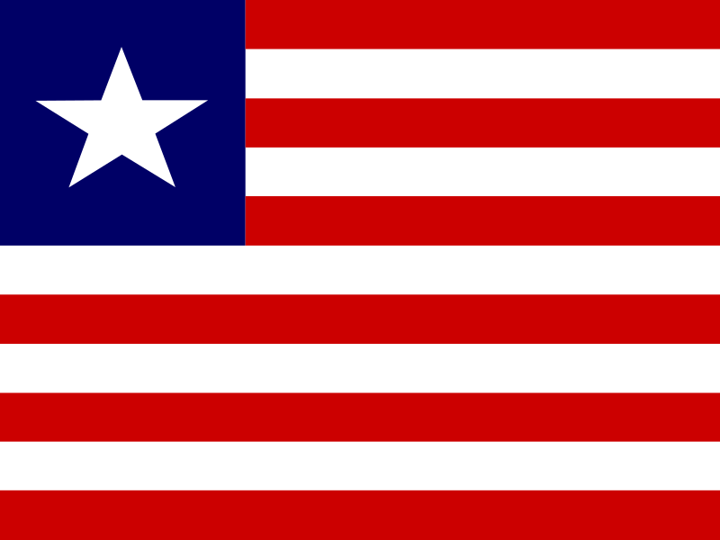
Liberia
Regions and cities in our catalog
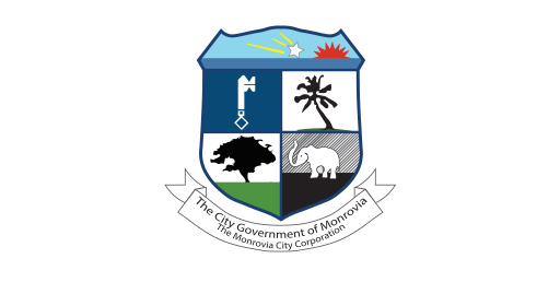
Regions
Browse this country’s regional flags and available downloads.
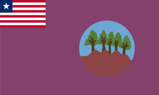
Bomi County
Forested inland hills descend toward mangrove-lined Atlantic waterways.

Bong County
Rolling forested uplands and river valleys occupy Liberia's central interior.
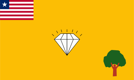
Gbarpolu County
Dense Upper Guinean forest covers much of Liberia's northwestern interior.
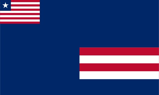
Grand Bassa County
Low Atlantic coast meets tropical forest and broad river valleys.
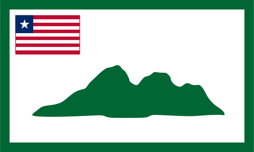
Grand Cape Mount County
A green coastal headland rises above lagoons and Atlantic beaches.
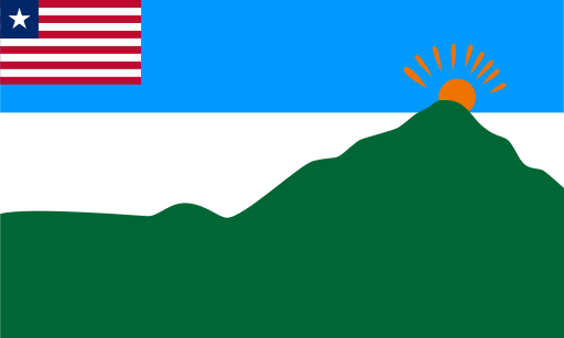
Grand Gedeh County
Forested hills and broad river valleys cover Liberia's eastern interior.
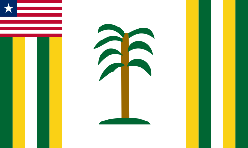
Grand Kru County
Tropical forest and river valleys extend toward Liberia's southeastern coast.
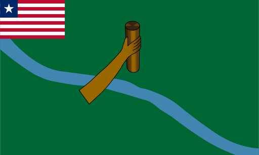
Lofa County
Wooded uplands and fertile valleys spread across Liberia's far northwest.
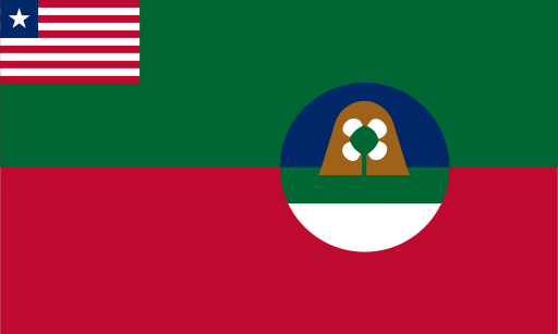
Margibi County
Low coastal plains and forested farmland lie just east of Monrovia.
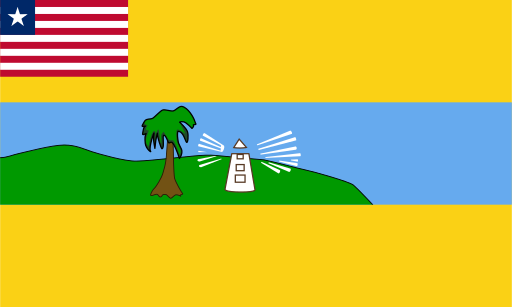
Maryland County
Forested hills meet lagoons and sandy beaches on the far southeastern coast.
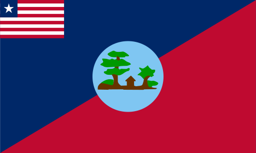
Montserrado County
A low Atlantic peninsula and coastal wetlands surround Liberia's capital.
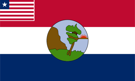
Nimba
High forested ridges rise around Mount Nimba in Liberia's northeast.
Cities
Browse this country’s city flags and available downloads.