Grand Kru County — available formats: SVG, PNG, JPG, WebP, PDF. Choose an image size. No sign-up needed
About the flag
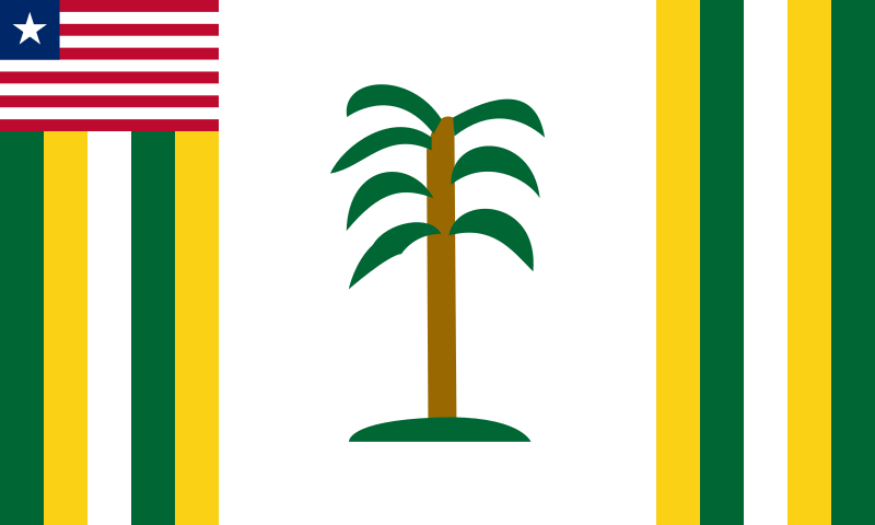
The flag has the Liberian national flag in the canton and a predominantly white local field. Vertical green and yellow bands appear near the sides, while a stylized tree stands in the central portion of widely documented versions. The tree and surrounding colored bands provide the principal county-specific imagery. Minor proportions and artistic details vary between reproductions, so no exact measurements or leaf counts are given.
About Grand Kru County
Region · Liberia
Grand Kru County occupies part of southeastern Liberia, stretching from forested interior districts toward the Atlantic coast. Barclayville is the administrative center, while many communities are small and dispersed among rivers, wetlands and tropical forest. Today farming, fishing, local trade and public services are central to the economy, with road access remaining a major factor in movement and development. Rice, cassava and other food crops are widely cultivated. The county's remote location and extensive natural vegetation distinguish it from Liberia's more urbanized coastal areas around Monrovia and Buchanan.