Margibi County — available formats: SVG, PNG, JPG, WebP, PDF. Choose an image size. No sign-up needed
About the flag
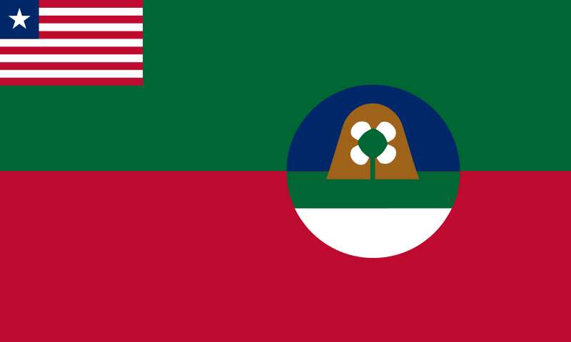
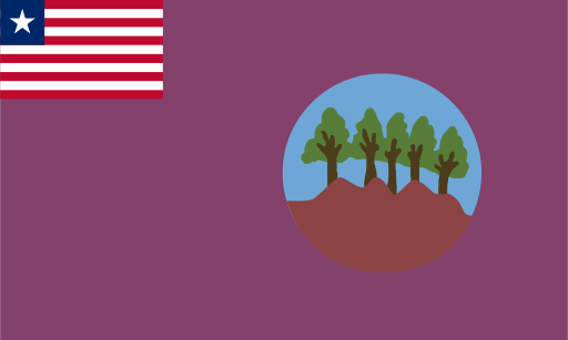
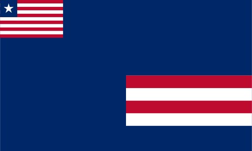
Margibi County's flag includes the Liberian national flag in its canton and a county-specific design occupying the remaining field. Standard reproductions use a light-colored background with local graphic elements, but small details and color shades are not consistently reproduced across sources. No unsupported meaning is assigned to individual colors or figures.
About Margibi County
Region · Liberia
Margibi County lies along Liberia's central coastal corridor east of Monrovia, combining low plains, forest, farmland and important transport routes. Kakata is the administrative center, while the county also contains settlements closely tied to the capital's economic sphere. Today rubber production, agriculture, manufacturing, trade and public services are major activities. The country's principal international airport is located within the county, strengthening its role in national transport and logistics. Plantations and small farms occupy substantial areas, while major roads connect Margibi with Monrovia, Buchanan and the interior.