Nimba — available formats: SVG, PNG, JPG, WebP, PDF. Choose an image size. No sign-up needed
About the flag
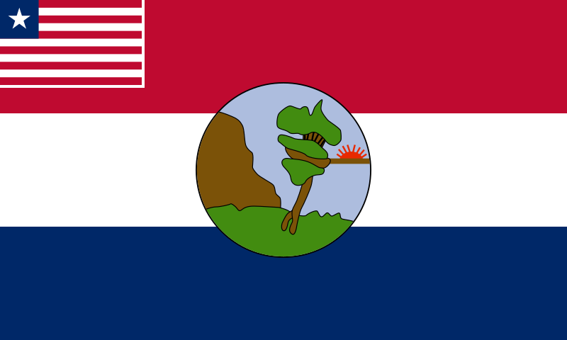
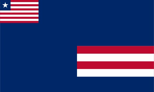
Nimba's county flag includes the Liberian national flag in the canton and a locally distinctive composition over the rest of the field. Mountain imagery is a prominent feature in commonly reproduced versions, reflecting the county's association with the Nimba range. Exact artistic details differ among historical and digital representations, so uncertain secondary elements are not interpreted here.
About Nimba
Region · Liberia
Nimba lies in northeastern Liberia, where forested valleys and uplands rise toward the Nimba mountain range. Sanniquellie is the administrative center, while Ganta is a major commercial and transport hub. Today farming, trade, mining and public services are central to the county's economy, with iron ore resources playing an important industrial role. Major roads connect Nimba with central Liberia and neighboring countries, encouraging regional commerce. The landscape combines cultivated valleys with dense forest and high ridges, including biologically important mountain environments that extend across international boundaries.