Lofa County — available formats: SVG, PNG, JPG, WebP, PDF. Choose an image size. No sign-up needed
About the flag
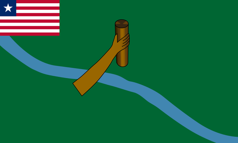
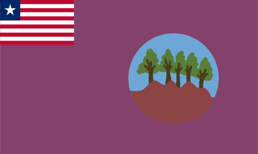
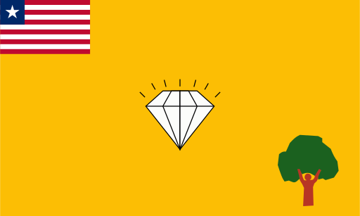
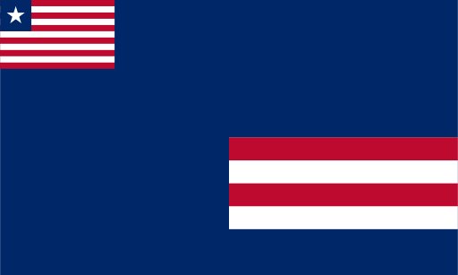
Lofa County uses a flag in the Liberian county tradition, with the national flag occupying the canton and a separate local composition across the rest of the field. Published versions contain several colored geometric and landscape elements, but exact renderings differ. To avoid presenting a variable graphic detail as fixed, only the common structural arrangement is stated here.
About Lofa County
Region · Liberia
Lofa County covers much of northwestern Liberia, where forested uplands, river valleys and agricultural land extend toward the country's northern frontiers. Voinjama is the main administrative center and an important market town for surrounding districts. Today agriculture is central to the economy, with rice, coffee, cocoa and other crops grown in suitable areas. Trade, public services and transport also support the county's towns. Its relatively high rainfall and fertile valleys sustain dense vegetation, while long road connections link Lofa with central Liberia and regional markets beyond the county.