Laikipia County — available formats: PNG, JPG, WebP, PDF. Choose an image size. No sign-up needed
About the flag
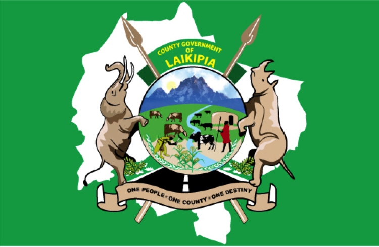
Laikipia County uses an official county flag documented in Kenyan local-government contexts. The banner has a county-specific design, but detailed authoritative explanations of every color and symbol are not consistently reproduced in public vexillological sources. Wildlife, ranching and mountain imagery are strongly associated with Laikipia, yet such meanings should not be attributed to particular flag elements without direct county documentation. The flag functions as an identifier of the devolved county government.
About Laikipia County
Region · Kenya
Laikipia County lies in central Kenya between Mount Kenya and the eastern edge of the Great Rift Valley. High plateaus, open savanna, ranchlands and river valleys dominate a landscape shared by farms, pastoral areas and major wildlife conservancies. Nanyuki is the largest commercial center, while county administration is distributed through the region. Today livestock, horticulture, tourism, conservation and services are important economic activities. The county’s roads connect central Kenya with Isiolo and the northern interior, making its plateau an important geographic transition zone.