Mandera County — available formats: SVG, PNG, JPG, WebP, PDF. Choose an image size. No sign-up needed
About the flag
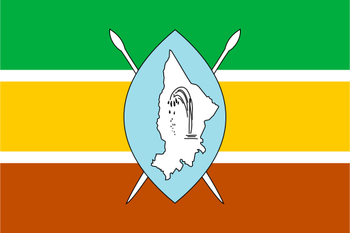
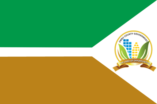
Mandera County uses a county-specific flag within Kenya’s devolved government system. Public reproductions show an official local banner, but detailed and consistent authoritative explanations of every color and symbol are not widely available. The county’s Somali cultural setting and arid border geography should not be used to infer flag meanings without direct documentation. The flag represents the county government and should be distinguished from national, political and cultural flags used across the wider border region.
About Mandera County
Region · Kenya
Mandera County occupies Kenya’s far north-east where the country meets Ethiopia and Somalia. Arid plains, seasonal riverbeds and sparse thorn scrub dominate the landscape, while the Dawa River provides an important water corridor along part of the northern frontier. Mandera town is the county headquarters and principal administrative and trading center. Today pastoralism, livestock trade, small-scale agriculture, cross-border commerce and public services support the economy. Long distances and limited water shape settlement patterns, while road and air links connect the county with other parts of north-eastern Kenya and Nairobi.