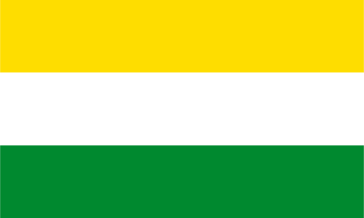
Pomeroon-Supenaam — available formats: SVG, PNG, JPG, WebP, PDF. Choose an image size. No sign-up needed
About the flag
Pomeroon-Supenaam is represented by a regional flag as part of Guyana's system of ten administrative-region banners. Official material confirms its use, but readily accessible text does not give a sufficiently precise description of every element to support a detailed written account. No meanings are therefore assigned to colors or figures whose interpretation would rely only on secondary images. The banner is best treated as an established regional administrative symbol.
About Pomeroon-Supenaam
Region · Guyana
Pomeroon-Supenaam lies on Guyana's Atlantic coast between the Pomeroon and Essequibo river systems. Its low landscape includes canals, rice fields, coconut areas, wetlands, river settlements, and a narrow developed coastal strip. Today agriculture, especially rice and coconut production, fishing, commerce, and local services form the main economic base, with Anna Regina as the regional administrative center. Waterways remain important for transport into the Pomeroon area, while the coastal road connects the larger settlements and agricultural communities with other parts of western Guyana.