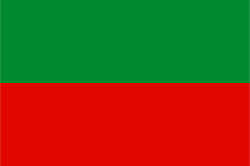
Potaro-Siparuni — available formats: SVG, PNG, JPG, WebP, PDF. Choose an image size. No sign-up needed
About the flag
Potaro-Siparuni has its own flag within Guyana's regional symbol system. The banner is included in official presentations of the country's administrative-region flags, but detailed textual specifications and reliably documented explanations of its symbolism are limited in accessible sources. A precise description of colors or figures would therefore risk reproducing uncertain details. The flag is recognized here without adding interpretations that are not reliably documented.
About Potaro-Siparuni
Region · Guyana
Potaro-Siparuni lies in central Guyana's interior, dominated by rainforest, highlands, river valleys, and sections of the Guiana Shield. The Potaro River and Kaieteur Falls are among its most recognizable natural features. Today gold and diamond mining, forestry, tourism, small-scale agriculture, and public services support scattered communities, with Mahdia as the regional administrative center. Roads and airstrips supplement river travel across difficult terrain, while large areas remain sparsely settled and retain extensive forest and mountain ecosystems.