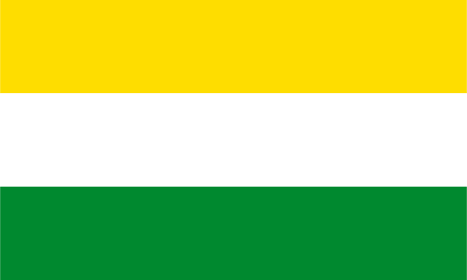
Upper Demerara-Berbice — available formats: SVG, PNG, JPG, WebP, PDF. Choose an image size. No sign-up needed
About the flag
Upper Demerara-Berbice is represented by a regional flag used within Guyana's administrative system. Official collections show a distinctive banner for the region, but accessible authoritative text does not consistently set out every graphical detail or its intended meaning. The safest description is therefore limited to its status as the regional flag rather than attempting to reconstruct specific shapes or color symbolism from reproduced images.
About Upper Demerara-Berbice
Region · Guyana
Upper Demerara-Berbice lies in central Guyana around the upper Demerara River and adjoining forested interior. Rivers, sandy soils, rainforest, mining areas, and scattered settlements dominate the region. Today bauxite mining remains closely associated with Linden, the regional center, while forestry, agriculture, transport, public services, and smaller mining activities also contribute to the economy. Road and river routes link the region with Georgetown and deeper interior districts, and the concentration around Linden contrasts with much more sparsely populated forest country elsewhere.