Upper Takutu-Upper Essequibo — available formats: SVG, PNG, JPG, WebP, PDF. Choose an image size. No sign-up needed
About the flag
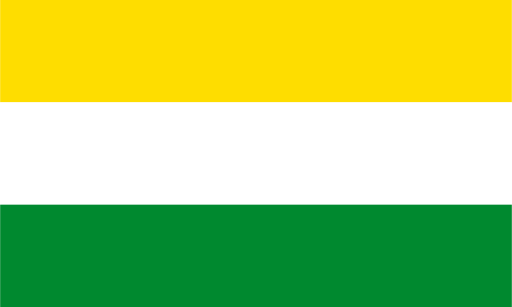
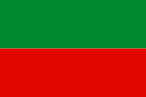
Upper Takutu-Upper Essequibo has a regional flag documented among Guyana's ten administrative banners. Public sources establish that the region uses a distinct design, but a reliable written specification of all its elements and official meanings is not readily accessible. Rather than interpret colors or imagery from illustrations alone, this description leaves uncertain details unstated while recognizing the flag as a formal regional identifier.
About Upper Takutu-Upper Essequibo
Region · Guyana
Upper Takutu-Upper Essequibo occupies southern Guyana, where the open Rupununi savannas are bordered by forested mountains, rivers, and extensive interior woodland. Lethem, near the Brazilian frontier, is the principal urban and administrative center. Today cattle ranching, agriculture, tourism, cross-border trade, mining, and public services support the regional economy. Roads through Lethem connect Guyana with Brazil, while rivers, airstrips, and unpaved routes remain vital for remote Indigenous communities scattered across savanna and forest landscapes.